
Mapa topográfico Courmayeur
Mapa interactivo
Haga clic en el mapa para ver la altitud.
Acerca de este mapa
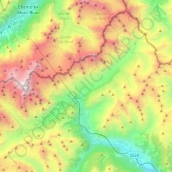
Nombre: Mapa topográfico Courmayeur, altitud, relieve.
Lugar: Courmayeur, Valle de Aosta, 11013, Italia (45.74004 6.80245 45.92284 7.10155)
Altitud media: 2.367 m
Altitud mínima: 818 m
Altitud máxima: 4.804 m