
Mapa topográfico Nerima
Mapa interactivo
Haga clic en el mapa para ver la altitud.
Acerca de este mapa
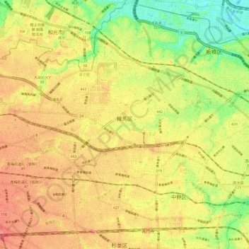
Nombre: Mapa topográfico Nerima, altitud, relieve.
Lugar: Nerima, Tokio, Japón (35.71171 139.56289 35.77999 139.68111)
Altitud media: 39 m
Altitud mínima: 0 m
Altitud máxima: 67 m