
Mapa topográfico Llanura europea oriental
Mapa interactivo
Haga clic en el mapa para ver la altitud.
Llanura europea oriental
Las rocas de los escudos báltico y ucraniano se extienden a lo largo de cientos de kilómetros en el subsuelo de la meseta Rusa y forman su basamento. Las llanuras y las mesetas al suroeste del Escudo Ucranianoson mucho más extensas que la Mesa Rusa. La transición a la parte norte de la Depresión del Caspio en el sureste de las tierras bajas de Europa del Este se caracteriza por la elevación muy llamativa de la Meseta del Volga.
Acerca de este mapa
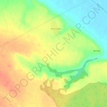
Nombre: Mapa topográfico Llanura europea oriental, altitud, relieve.
Altitud media: 115 m
Altitud mínima: 88 m
Altitud máxima: 136 m