
Mapa topográfico Northeastern Manitoulin and the Islands
Mapa interactivo
Haga clic en el mapa para ver la altitud.
Acerca de este mapa
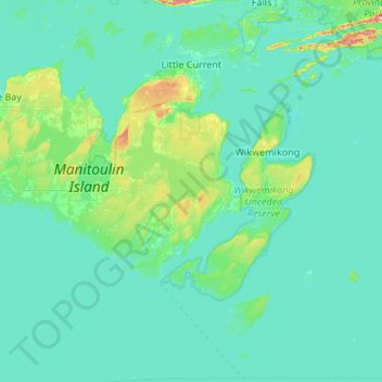
Nombre: Mapa topográfico Northeastern Manitoulin and the Islands, altitud, relieve.
Altitud media: 192 m
Altitud mínima: 169 m
Altitud máxima: 469 m