
Mapa topográfico Ghat
Mapa interactivo
Haga clic en el mapa para ver la altitud.
Acerca de este mapa
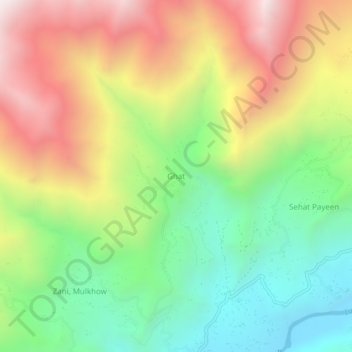
Nombre: Mapa topográfico Ghat, altitud, relieve.
Lugar: Ghat, Chitrāl District, Khyber Pakhtunkhwa, Pakistan (36.30042 72.19267 36.34042 72.23267)
Altitud media: 2.657 m
Altitud mínima: 2.004 m
Altitud máxima: 3.505 m