
Mapa topográfico Coler Creek
Mapa interactivo
Haga clic en el mapa para ver la altitud.
Acerca de este mapa
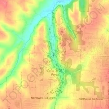
Nombre: Mapa topográfico Coler Creek, altitud, relieve.
Altitud media: 371 m
Altitud mínima: 327 m
Altitud máxima: 396 m
Otros mapas topográficos
Haga clic en un mapa para ver su topografía, su altitud y su relieve.
Bentonville
United States > Arkansas > Benton County > Bentonville
Bentonville, Benton County, Arkansas, United States
Altitud media: 387 m