

Mapa topográfico Lake Scugog
Haga clic en el mapa para ver la altitud.
Lake Scugog
The stagnant waters of the lake caused a wave of deadly fevers in the surrounding farms, and the new lake limits quickly became very unpopular with the local residents. On one day in the summer of 1838, settlers from the countryside surrounding the lake rose up and using axes, flintlocks and pitchforks, tore the dam apart, lowering the lake once more. No charges were laid due to the general anger towards the water height by residents, and because of a deal reached between Purdy and the Board of Works of the Province of Canada, on December 18, 1843. Mr. Purdy was forced to lower the elevation to something approximating its natural maximum spring high-water level, a reduction in the height of the previous dam by about three feet. The Board of Works constructed the dam and a lock for navigation into Lake Scugog, which was completed in 1844 and included a log flume. In exchange, Purdy relinquished all claims against the damage done by residents, and maintained the dam and flume.
Acerca de este mapa
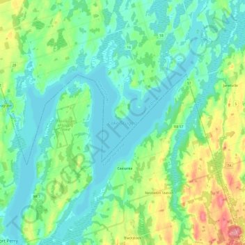
Nombre: Mapa topográfico Lake Scugog, altitud, relieve.
Altitud media: 269 m
Altitud mínima: 246 m
Altitud máxima: 337 m