
Mapa topográfico Guéret
Mapa interactivo
Haga clic en el mapa para ver la altitud.
Acerca de este mapa
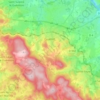
Nombre: Mapa topográfico Guéret, altitud, relieve.
Altitud media: 473 m
Altitud mínima: 308 m
Altitud máxima: 689 m
Guéret has an oceanic climate (Köppen Cfb) influenced by its elevation and proximity to the Bay of Biscay's maritime inflow of Gulf Stream air. As a result, the climate is mild for its latitude, wet and also relatively gloomy.