Geolocalizar

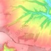
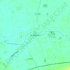
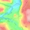
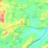
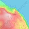
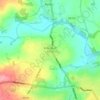
Mapa topográfico Ripon

Haga clic en el mapa para ver la altitud.

Acerca de este mapa
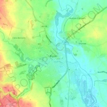
Nombre: Mapa topográfico Ripon, altitud, relieve.

Lugar: Ripon, North Yorkshire, York and North Yorkshire, England, United Kingdom (54.11997 -1.58757 54.15496 -1.49494)

Altitud media: 46 m

Altitud mínima: 14 m

Altitud máxima: 116 m

Otros mapas topográficos

Haga clic en un mapa para ver su topografía, su altitud y su relieve.
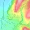
Harrogate

United Kingdom > England > North Yorkshire

Harrogate is situated on the edge of the Yorkshire Dales, with the Vale of York to the east and the upland Yorkshire Dales to the west and north-west. It has a dry and mild climate, typical of places in the rain shadow of the Pennines. It is on the A59 from Skipton to York. At an altitude of between 100 and…

Altitud media: 106 m

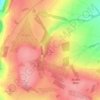
Reeth

United Kingdom > England > North Yorkshire

Altitud media: 295 m

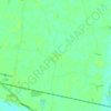
Lund

United Kingdom > England > North Yorkshire > Selby

Altitud media: 6 m

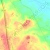
Nawton

United Kingdom > England > North Yorkshire

Altitud media: 78 m

s

United Kingdom > England > North Yorkshire

Altitud media: 144 m

Wass

United Kingdom > England > North Yorkshire > Ryedale > Wass

Altitud media: 154 m

Laskill

United Kingdom > England > North Yorkshire > Hawnby

Altitud media: 206 m

Greenhow Hill

United Kingdom > England > North Yorkshire

The village is about 3 miles (4.8 km) west of Pateley Bridge on the road heading towards Grassington, and is mainly in the civil parish of Bewerley. However, the western end of the village lying to the west of Kell Dyke, commonly known as Craven Cross, lies within the civil parish of Appletreewick in Craven.…

Altitud media: 358 m

Gayle

United Kingdom > England > North Yorkshire > Hawes

Altitud media: 331 m

Bed

United Kingdom > England > North Yorkshire > Airton

Altitud media: 188 m

Sessay

United Kingdom > England > North Yorkshire

Altitud media: 30 m

Embsay

United Kingdom > England > North Yorkshire

Altitud media: 219 m

Equípate para tu próxima aventura:

🧢Sombreros de montaña - Protección solar extendida
👕Chaquetas Cortavientos - Capa ligera para protegerse del aire en las crestas
📟Altímetros Digitales - Precisión en la medición de la elevación y presión atmosférica
📱GPS para senderismo - Dispositivos GPS dedicados para actividades outdoor
📻Radios de Emergencia - Información meteorológica sin necesidad de pilas

Como asociado de Amazon, este sitio gana comisiones por las compras que califican, sin ningún costo adicional para usted.