
Mapa topográfico Bowron Lake Provincial Park
Mapa interactivo
Haga clic en el mapa para ver la altitud.
Acerca de este mapa
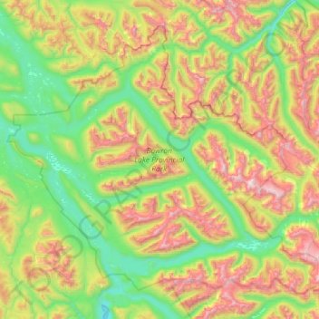
Nombre: Mapa topográfico Bowron Lake Provincial Park, altitud, relieve.
Altitud media: 1.444 m
Altitud mínima: 818 m
Altitud máxima: 2.657 m
Bears are quite common in the park – black bears are numerous in the lower altitudes around the lake, and grizzly bears frequent the alpine areas. In addition to its bears, Bowron Lake Park is home to predators like cougars, wolves, wolverines, and lynx.