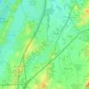
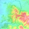
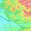
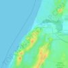
Mapa topográfico Modiin-Maccabim-Reut
Haga clic en el mapa para ver la altitud.
Modiin-Maccabim-Reut
הנחלים HaNechalim - The Rivers (Safdie) and משואה Masuah - Beacon (Givat C) are located towards the west of the city, and were planned by architect Moshe Safdie. Located in these neighborhoods are five commercial centers, a secondary school and three primary schools. The central street names are named after valleys in Israel, and the side streets are named after Israeli rivers and streets. The name "Masuah" was selected in order to represent the neighborhood's high altitude. Within the area consisting of the streets named after rivers and streams is the "Malibu" area, which, as with other areas, is colloquially named after the contractor who designed the neighborhood.
Acerca de este mapa
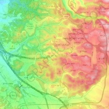
Nombre: Mapa topográfico Modiin-Maccabim-Reut, altitud, relieve.
Altitud media: 199 m
Altitud mínima: 75 m
Altitud máxima: 327 m
Otros mapas topográficos
Haga clic en un mapa para ver su topografía, su altitud y su relieve.
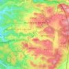
Modiin-Maccabim-Reut
הנחלים HaNechalim – The Rivers (Safdie) and משואה Masuah – Beacon (Givat C) are located towards the west of the city, and were planned by architect Moshe Safdie. Located in these neighborhoods are five commercial centers, a secondary school and three primary schools. The central street names are…
Altitud media: 240 m
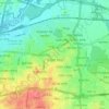


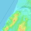
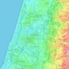











Modiin-Maccabim-Reut
הנחלים HaNachlim - The Rivers (Safdie) and משואה Masuah - Beacon (Givat C) are located towards the west of the city, and were planned by architect Moshe Safdie. Located in these neighborhoods are five commercial centers, a secondary school and three primary schools. The central street names are…
Altitud media: 240 m