
Mapa topográfico The Villages at Mount Hood
Mapa interactivo
Haga clic en el mapa para ver la altitud.
Acerca de este mapa
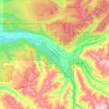
Nombre: Mapa topográfico The Villages at Mount Hood, altitud, relieve.
Lugar: The Villages at Mount Hood, Clackamas County, Oregon, USA (45.30294 -122.13441 45.40378 -121.88241)
Altitud media: 797 m
Altitud mínima: 256 m
Altitud máxima: 1.504 m