
Mapa topográfico Chegem
Mapa interactivo
Haga clic en el mapa para ver la altitud.
Chegem
Chegem (Russian: Чеге́м; Kabardian: Шэджэм) is a town and the administrative center of Chegemsky District of the Kabardino-Balkar Republic, Russia, located 10 kilometers (6.2 mi) north of Nalchik, at the elevation of about 470 meters (1,540 ft). Population: 18,019 (2010 Census).
Acerca de este mapa
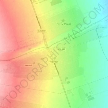
Nombre: Mapa topográfico Chegem, altitud, relieve.
Altitud media: 467 m
Altitud mínima: 398 m
Altitud máxima: 537 m