
Mapa topográfico Galveston
Mapa interactivo
Haga clic en el mapa para ver la altitud.
Galveston
On September 8, 1900, the island was struck by a devastating hurricane. This event holds the record as the United States' deadliest natural disaster. The city was devastated, and an estimated 6,000 to 8,000 people on the island were killed. Following the storm, a 10-mile (16 km) long, 17 foot (5.2 m) high seawall was built to protect the city from floods and hurricane storm surges. A team of engineers including Henry Martyn Robert (Robert's Rules of Order) designed the plan to raise much of the existing city to a sufficient elevation behind a seawall so that confidence in the city could be maintained.
Acerca de este mapa
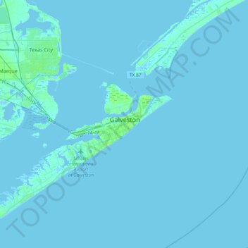
Nombre: Mapa topográfico Galveston, altitud, relieve.
Lugar: Galveston, Galveston County, Texas, 77553, United States (29.13933 -94.95459 29.45933 -94.63459)
Altitud media: 1 m
Altitud mínima: -8 m
Altitud máxima: 23 m