Mapa topográfico River Torrens
Haga clic en el mapa para ver la altitud.
River Torrens
Public baths were built in 1861 just north of the current Parliament House. They were supplied with reticulated water from the Torrens and progressively upgraded with the last change a 1940 remodelling including an Olympic-size swimming pool and diving tower. The baths were demolished in 1970 to make way for the Adelaide Festival Centre. The 16,500 ML (3.6 billion imp gal; 4.4 billion US gal) Millbrook Reservoir was constructed high in the Adelaide Hills from 1913 to 1918 submerging the town of Millbrook. An earth bank dam fed by mile long tunnel from a weir on the river at Gumeracha, its elevation allows gravity supply of water to Adelaide's eastern suburbs.
Acerca de este mapa
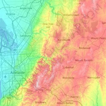
Nombre: Mapa topográfico River Torrens, altitud, relieve.
Altitud media: 269 m
Altitud mínima: -1 m
Altitud máxima: 699 m
Otros mapas topográficos
Haga clic en un mapa para ver su topografía, su altitud y su relieve.