

Mapa topográfico Nashik
Haga clic en el mapa para ver la altitud.
Nashik
The city's tropical location and high altitude combine to give it a relatively mild version of a tropical wet and dry climate (Köppen Aw). Temperatures rise slightly in October, but this is followed by the cool season from November to February. The cool season sees warm temperatures of around 28 °C or 82.4 °F during the day, but cool nights, with lows averaging 10 °C or 50 °F, and extremely dry air.
Acerca de este mapa
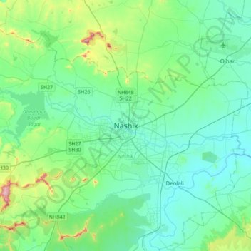
Nombre: Mapa topográfico Nashik, altitud, relieve.
Altitud media: 631 m
Altitud mínima: 535 m
Altitud máxima: 1.079 m