
Mapa topográfico Astrakhan
Mapa interactivo
Haga clic en el mapa para ver la altitud.
Acerca de este mapa
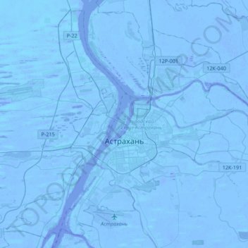
Nombre: Mapa topográfico Astrakhan, altitud, relieve.
Altitud media: -21 m
Altitud mínima: -30 m
Altitud máxima: -6 m
Astrakhan (Russian: Астрахань, IPA: [ˈastrəxənʲ] ) is the largest city and administrative centre of Astrakhan Oblast in southern Russia. The city lies on two banks of the Volga, in the upper part of the Volga Delta, on eleven islands of the Caspian Depression, 60 miles (100 km) from the Caspian Sea, with a population of 475,629 residents at the 2021 Census. At an elevation of 28 meters (92 ft) below sea level, it is the lowest city in Russia.
Otros mapas topográficos
Haga clic en un mapa para ver su topografía, su altitud y su relieve.
Astrakhan
Russia > Astrakhan Oblast > Astrakhan > Astrakhan
Astrakhan, Astrakhan Oblast, Southern Federal District, 414000, Russia
Altitud media: -21 m