
Mapa topográfico Lalaye
Mapa interactivo
Haga clic en el mapa para ver la altitud.
Lalaye
The village itself is positioned at the lower end of the valley, having an average elevation of just 310 meters, shortly before the Charbes stream and the Urbeis Giessen converge. The houses are stretched along the south facing side of the narrow Charbes valley.
Acerca de este mapa
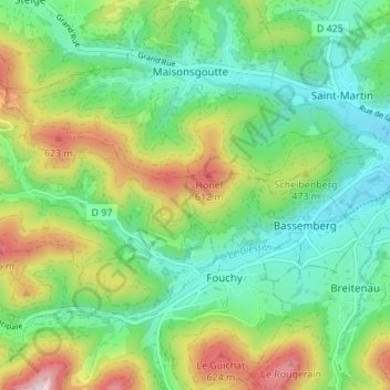
Nombre: Mapa topográfico Lalaye, altitud, relieve.
Altitud media: 497 m
Altitud mínima: 299 m
Altitud máxima: 806 m