
Mapa topográfico Tian Shan
Mapa interactivo
Haga clic en el mapa para ver la altitud.
Tian Shan
Continuous permafrost is typically found in the Tian Shan starting at the elevation of about 3,500-3,700 m above the sea level. Discontinuous alpine permafrost usually occurs down to 2,700-3,300 m, but in certain locations, due to the peculiarity of the aspect and the microclimate, it can be found at elevations as low as 2,000 m.
Acerca de este mapa
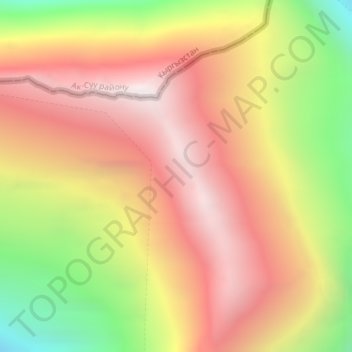
Nombre: Mapa topográfico Tian Shan, altitud, relieve.
Lugar: Tian Shan, Wensu County, Aksu Prefecture, Xinjiang, China (42.03089 80.20056 42.03099 80.20066)
Altitud media: 6.096 m
Altitud mínima: 5.160 m
Altitud máxima: 6.790 m