
Mapa topográfico College of St Hild and St Bede
Mapa interactivo
Haga clic en el mapa para ver la altitud.
Acerca de este mapa
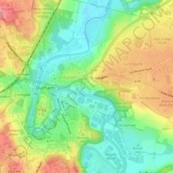
Nombre: Mapa topográfico College of St Hild and St Bede, altitud, relieve.
Altitud media: 64 m
Altitud mínima: 25 m
Altitud máxima: 111 m