
Mapa topográfico Ashland
Mapa interactivo
Haga clic en el mapa para ver la altitud.
Acerca de este mapa
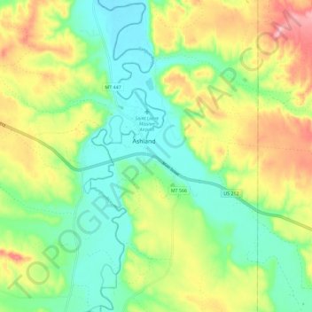
Nombre: Mapa topográfico Ashland, altitud, relieve.
Altitud media: 940 m
Altitud mínima: 879 m
Altitud máxima: 1.039 m
The area offers a variety of topography, varying from rolling grasslands to steep rock outcrops. Vegetation varies from prairie to dense stands of ponderosa pine.