Mapa topográfico Sunshine Coast
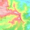
Haga clic en el mapa para ver la altitud.
Sunshine Coast
The Sunshine Coast in Queensland, Australia, showcases a diverse topography that harmoniously blends coastal plains with rugged hinterlands. Along its eastern edge, the region features expansive sandy beaches and coastal dunes that transition smoothly into fertile lowlands. Inland, the terrain becomes more varied and elevated, highlighted by prominent mountain ranges. The Blackall Range, reaching elevations up to 561 meters (1,841 feet), is characterized by lush rainforests, waterfalls, and rich red basalt soils, remnants of ancient volcanic activity. To the west, the Conondale Range, peaking at Mount Langley (868 meters or 2,848 feet), forms part of the Great Dividing Range and is predominantly covered by state forests and national parks. Further south, the distinctive Glass House Mountains, including Mount Beerwah (556 meters or 1,824 feet) and Mount Tibrogargan (364 meters or 1,194 feet), are volcanic plugs that rise sharply from the coastal plain, offering striking geological formations. This varied terrain supports diverse ecosystems, from coastal mangroves to subtropical rainforests, making the Sunshine Coast a region of significant ecological and geological interest.
Acerca de este mapa
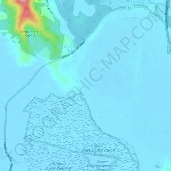
Nombre: Mapa topográfico Sunshine Coast, altitud, relieve.
Altitud media: 109 m
Altitud mínima: -5 m
Altitud máxima: 819 m
Otros mapas topográficos
Haga clic en un mapa para ver su topografía, su altitud y su relieve.













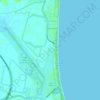
Minyama
Australia > Queensland > Sunshine Coast Regional
Minyama is located within the Kawana Waters urban centre. Situated on the Mooloolah River, the suburb is almost entirely surrounded by water, and artificially constructed harbours and waterways dominate the topography. The suburb's main thoroughfare, Nicklin Way, is the location of several large retail…
Altitud media: 3 m