
Mapa topográfico Purulia - II
Mapa interactivo
Haga clic en el mapa para ver la altitud.
Purulia - II
The Purulia II CD block is located in the central part of the district. The Kangsabati River forms the boundary between the Purulia II and Purulia I CD blocks. The upper Kangsabati basin has undulating land and the elevation rises from 200 to 300 m and the general slope is from west to east and south-east.
Acerca de este mapa
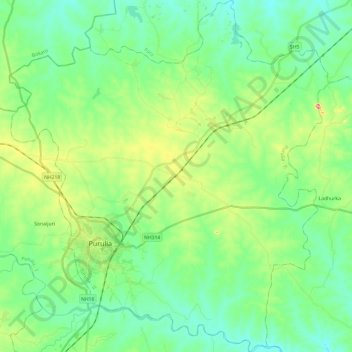
Nombre: Mapa topográfico Purulia - II, altitud, relieve.
Lugar: Purulia - II, Puruliya, West Bengal, India (23.26134 86.30520 23.48135 86.52287)
Altitud media: 230 m
Altitud mínima: 184 m
Altitud máxima: 354 m
Otros mapas topográficos
Haga clic en un mapa para ver su topografía, su altitud y su relieve.
Purulia
India > West Bengal > Purulia - II
Purulia is located at 23°20′N 86°22′E / 23.33°N 86.37°E / 23.33; 86.37. It has an average elevation of 228 metres (748 feet).
Altitud media: 241 m