
Mapa topográfico Shiono Cape
Mapa interactivo
Haga clic en el mapa para ver la altitud.
Acerca de este mapa
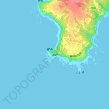
Nombre: Mapa topográfico Shiono Cape, altitud, relieve.
Altitud media: 10 m
Altitud mínima: 0 m
Altitud máxima: 71 m
Geologically, the cape is a flat uplifted seafood plateau with an elevation of 60 to 80 meters consisting of two marine terraces, and a coastal cliff with a height of 40 meters. Originally an island, gravel from the estuary of nearby rivers is carried by coastal currents to form a sandbar, which now connects the island to land.