
Mapa topográfico Chester
Mapa interactivo
Haga clic en el mapa para ver la altitud.
Acerca de este mapa
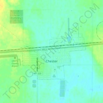
Nombre: Mapa topográfico Chester, altitud, relieve.
Lugar: Chester, Liberty County, Montana, 59522, United States (48.50549 -110.97888 48.52014 -110.95384)
Altitud media: 959 m
Altitud mínima: 950 m
Altitud máxima: 972 m
Lake Elwell, 15 miles (24 km) southwest of Chester, offer opportunities for boating, skiing, camping, picnicking, and both freshwater fishing and ice fishing. Fishing and floating are also available on the Marias River downstream from Tiber Dam. The Sweet Grass Hills to the north are the highest elevation peaks east of Glacier Park within 30 miles (48 km) of Highway 2. Hunting for deer, antelope, game birds, and elk is popular in the fall.