
Haz una donación
Equípate para tu próxima aventura:
Como asociado de Amazon, este sitio gana comisiones por las compras que califican, sin ningún costo adicional para usted.
Mapa topográfico Loma Plata
Haga clic en el mapa para ver la altitud.
Haz una donación
Equípate para tu próxima aventura:
Como asociado de Amazon, este sitio gana comisiones por las compras que califican, sin ningún costo adicional para usted.
Acerca de este mapa
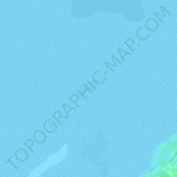
Nombre: Mapa topográfico Loma Plata, altitud, relieve.
Lugar: Loma Plata, Cameron County, Texas, United States (26.00008 -97.20009 26.00278 -97.19678)
Altitud media: 0 m
Altitud mínima: -1 m
Altitud máxima: 6 m
Haz una donación
Equípate para tu próxima aventura:
Como asociado de Amazon, este sitio gana comisiones por las compras que califican, sin ningún costo adicional para usted.
Otros mapas topográficos
Haga clic en un mapa para ver su topografía, su altitud y su relieve.
Brownsville
United States > Texas > Cameron County
Soils are mostly of clay to silty clay loam texture, moderately alkaline (pH 8.2) to strongly alkaline (pH 8.5 and with a significant degree of salinity in many places; other types of soils present around the city include Cameron clay and sporadic amounts of Laredo silt loam. Due to Brownsville's proximity to…
Altitud media: 9 m
Starbase
United States > Texas > Cameron County
SpaceX conducted a groundbreaking ceremony on the new launch facility in September 2014, and soil preparation began in October 2015. The first tracking antenna was installed in August 2016, and the first propellant tank arrived in July 2018. In late 2018, construction ramped up considerably, and the site saw…
Altitud media: 2 m
Brownsville
United States > Texas > Cameron County
Soils are mostly of clay to silty clay loam texture, moderately alkaline (pH 8.2) to strongly alkaline (pH 8.5 and with a significant degree of salinity in many places; other types of soils present around the city include Cameron clay and sporadic amounts of Laredo silt loam. Due to Brownsville's proximity to…
Altitud media: 9 m
Haz una donación
Equípate para tu próxima aventura:
Como asociado de Amazon, este sitio gana comisiones por las compras que califican, sin ningún costo adicional para usted.
Haz una donación
Equípate para tu próxima aventura:
Como asociado de Amazon, este sitio gana comisiones por las compras que califican, sin ningún costo adicional para usted.
Haz una donación
Equípate para tu próxima aventura:
Como asociado de Amazon, este sitio gana comisiones por las compras que califican, sin ningún costo adicional para usted.
Haz una donación
Equípate para tu próxima aventura:
Como asociado de Amazon, este sitio gana comisiones por las compras que califican, sin ningún costo adicional para usted.
Starbase
United States > Texas > Cameron County
SpaceX conducted a groundbreaking ceremony on the new launch facility in September 2014, and soil preparation began in October 2015. The first tracking antenna was installed in August 2016, and the first propellant tank arrived in July 2018. In late 2018, construction ramped up considerably, and the site saw…
Altitud media: 2 m
Haz una donación
Equípate para tu próxima aventura:
Como asociado de Amazon, este sitio gana comisiones por las compras que califican, sin ningún costo adicional para usted.
Brownsville
United States > Texas > Cameron County
Soils are mostly of clay to silty clay loam texture, moderately alkaline (pH 8.2) to strongly alkaline (pH 8.5) and with a significant degree of salinity in many places; other types of soils present around the city include Cameron clay and sporadic amounts of Laredo silt loam. Due to Brownsville's proximity to…
Altitud media: 9 m
Haz una donación
Equípate para tu próxima aventura:
Como asociado de Amazon, este sitio gana comisiones por las compras que califican, sin ningún costo adicional para usted.
Haz una donación
Equípate para tu próxima aventura:
Como asociado de Amazon, este sitio gana comisiones por las compras que califican, sin ningún costo adicional para usted.
Valle Verde Colonia
United States > Texas > Cameron County > La Feria > Valle Verde Colonia
Altitud media: 19 m