
Mapa topográfico Ore Mountains
Mapa interactivo
Haga clic en el mapa para ver la altitud.
Acerca de este mapa
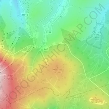
Nombre: Mapa topográfico Ore Mountains, altitud, relieve.
Altitud media: 1.020 m
Altitud mínima: 882 m
Altitud máxima: 1.220 m
The topographical transition from the Western and Central Ore Mountains to the loess hill country to the north between Zwickau and Chemnitz is referred to as the Ore Mountain Basin; that from the Eastern Ore Mountains as the Ore Mountain Foreland. Between Freital and Pirna, the area is called the Dresden Ore Mountain Foreland (Dresdner Erzgebirgsvorland) or Bannewitz-Possendorf-Burkhardswald Plateau (Bannewitz-Possendorf-Burkhardswalder Plateau). Geologically the Ore Mountains reach the city limits of Dresden at the Windberg hill near Freital and the Karsdorf Fault. The V-shaped valleys of the Ore Mountains break through this fault and the shoulder of the Dresden Basin.