Geolocalizar

Mapa topográfico Sempringham

Haga clic en el mapa para ver la altitud.

Sempringham

Sempringham consists of a church and a holy well, with other houses east from the church scattered along the B1177 between Pointon and Billingborough. The church stands at an altitude of about 52 feet (16 m), on land rising out of flat fenland. Pointon is the chief township of the civil parish, which includes Millthorpe and the fens of Pointon, Neslam and Aslackby, and a part of Hundred Fen at Gosberton Clough. Formerly, Birthorpe, now part of Billingborough, was included in the parish.

Wikipedia (CC-BY-SA 3.0)

Acerca de este mapa

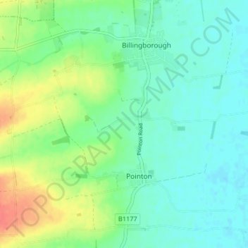
Nombre: Mapa topográfico Sempringham, altitud, relieve.

Lugar: Sempringham, Pointon and Sempringham, Pointon, South Kesteven, Lincolnshire, England, NG34 0LY, United Kingdom (52.86112 -0.36704 52.90112 -0.32704)

Altitud media: 16 m

Altitud mínima: 1 m

Altitud máxima: 50 m

Equípate para tu próxima aventura:

👟Zapatillas de Trail Running Mujer - Equilibrio perfecto entre ligereza y protección en montaña
📢Silbatos de Emergencia - Házte oír en caso de rescate o pérdida en la montaña
🔋Cargadores Solares Portátiles - Energía inagotable para tus dispositivos en rutas remotas
🛡️Fundas Impermeables para Mochila - Mantén tu equipo y mapas secos bajo cualquier tormenta
🧢Gorras de senderismo - Protección solar para actividades al aire libre

Como asociado de Amazon, este sitio gana comisiones por las compras que califican, sin ningún costo adicional para usted.