
Mapa topográfico Adorf
Mapa interactivo
Haga clic en el mapa para ver la altitud.
Acerca de este mapa
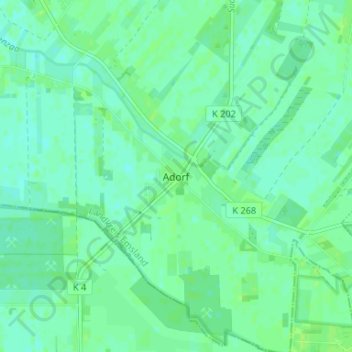
Nombre: Mapa topográfico Adorf, altitud, relieve.
Lugar: Adorf, Twist, Landkreis Emsland, Lower Saxony, 49767, Germany (52.58922 7.06771 52.62922 7.10771)
Altitud media: 19 m
Altitud mínima: 14 m
Altitud máxima: 23 m
Otros mapas topográficos
Haga clic en un mapa para ver su topografía, su altitud y su relieve.
Dever
Germany > Lower Saxony > Landkreis Emsland > Lehe
Dever, Lehe, Samtgemeinde Dörpen, Landkreis Emsland, Lower Saxony, 26892, Germany
Altitud media: 6 m
Spelle
Germany > Lower Saxony > Landkreis Emsland > Spelle
Spelle, Samtgemeinde Spelle, Landkreis Emsland, Lower Saxony, 48480, Germany
Altitud media: 36 m
Ramsel
Germany > Lower Saxony > Landkreis Emsland > Lingen (Ems)
Ramsel, Lingen (Ems), Landkreis Emsland, Lower Saxony, 49811, Germany
Altitud media: 39 m