
Mapa topográfico Britswert
Mapa interactivo
Haga clic en el mapa para ver la altitud.
Acerca de este mapa
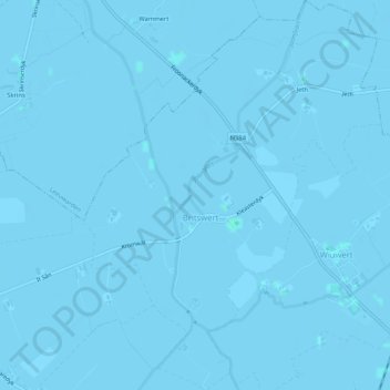
Nombre: Mapa topográfico Britswert, altitud, relieve.
Lugar: Britswert, Südwestfriesland, Friesland, Niederlande (53.09884 5.65648 53.12987 5.69610)
Altitud media: -1 m
Altitud mínima: -3 m
Altitud máxima: 2 m
Otros mapas topográficos
Haga clic en un mapa para ver su topografía, su altitud y su relieve.
De Marne
Niederlande > Friesland > Südwestfriesland
De Marne, Südwestfriesland, Friesland, Niederlande, 8744ES, Niederlande
Altitud media: -1 m