
Mapa topográfico Hortonville
Mapa interactivo
Haga clic en el mapa para ver la altitud.
Acerca de este mapa
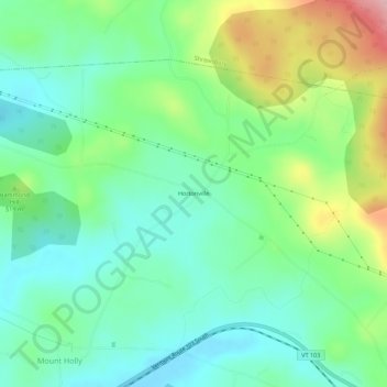
Nombre: Mapa topográfico Hortonville, altitud, relieve.
Altitud media: 497 m
Altitud mínima: 433 m
Altitud máxima: 644 m
Otros mapas topográficos
Haga clic en un mapa para ver su topografía, su altitud y su relieve.
Green Mountain National Forest
United States > Vermont > Rutland County > Mount Holly
Green Mountain National Forest, Mount Holly, Rutland County, Vermont, United States
Altitud media: 345 m