
Mapa topográfico Battle of the Seelow Heights
Mapa interactivo
Haga clic en el mapa para ver la altitud.
Acerca de este mapa
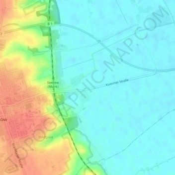
Nombre: Mapa topográfico Battle of the Seelow Heights, altitud, relieve.
Altitud media: 22 m
Altitud mínima: 5 m
Altitud máxima: 58 m