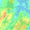
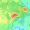
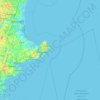
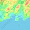
Mapa topográfico Haverhill
Haga clic en el mapa para ver la altitud.
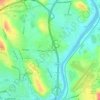
Haverhill
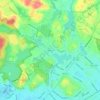
According to the United States Census Bureau, the city has a total area of 35.6 square miles (92.3 km2), of which 33.0 square miles (85.4 km2) is land and 2.7 square miles (6.9 km2), or 7.47%, is water. The city ranks 60th in the Commonwealth in terms of land area, and is the largest city or town in Essex County. Haverhill is drained by the Little and Merrimack rivers, the latter separating the Bradford section of town from the rest of Haverhill. The highest point in the city is found on Ayers Hill, a drumlin with two knobs of almost equal elevation of at least 335 feet (102 m), according to the most recent (2011–2012) USGS 7.5-minute topographical map. The city also has several ponds and lakes, as well as three golf courses.
Acerca de este mapa
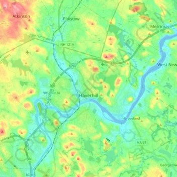
Nombre: Mapa topográfico Haverhill, altitud, relieve.
Lugar: Haverhill, Essex County, Massachusetts, United States (42.73246 -71.18240 42.83328 -70.99860)
Altitud media: 39 m
Altitud mínima: -5 m
Altitud máxima: 131 m
Otros mapas topográficos
Haga clic en un mapa para ver su topografía, su altitud y su relieve.

Browns Point
United States > Massachusetts > Essex County > Salisbury > Salisbury Beach
Altitud media: 2 m

Little River Marshes
United States > Massachusetts > Essex County > Gloucester > West Gloucester
Altitud media: 27 m
Blackwater River
United States > Massachusetts > Essex County > Salisbury > Salisbury Beach
Altitud media: 4 m


Forest River Park
United States > Massachusetts > Essex County > Salem > South Salem
Altitud media: 8 m



Kettle Cove Village
United States > Massachusetts > Essex County > Manchester-by-the-Sea
Altitud media: 18 m