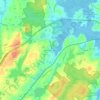
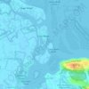
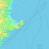
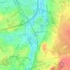
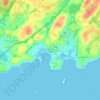
Mapa topográfico Amesbury
Haga clic en el mapa para ver la altitud.
Amesbury
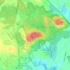
Amesbury is located at 42°51′29″N 70°55′50″W / 42.85806°N 70.93056°W / 42.85806; -70.93056. According to the United States Census Bureau, the city has a total area of 13.7 square miles (35.5 km2), of which 12.3 square miles (31.8 km2) is land and 1.5 square miles (3.8 km2), or 10.65%, is water. Amesbury is drained by the Powwow River. Powwow Hill, elevation 331 feet (101 m), is the highest point in town. Once the site of Indian gatherings, or "powwows", it has views to Maine and Cape Ann. Amesbury is the second northernmost town in Massachusetts, its northernmost point coming just south of the northernmost point of the state, in Salisbury. Amesbury lies along the northern banks of the Merrimack River and is bordered by Salisbury to the east, Newburyport to the southeast, West Newbury to the southwest, Merrimac to the west, and South Hampton, New Hampshire, to the north.
Acerca de este mapa
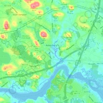
Nombre: Mapa topográfico Amesbury, altitud, relieve.
Lugar: Amesbury, Essex County, Massachusetts, 01913, United States (42.81971 -71.00490 42.88665 -70.89983)
Altitud media: 25 m
Altitud mínima: -9 m
Altitud máxima: 99 m
Otros mapas topográficos
Haga clic en un mapa para ver su topografía, su altitud y su relieve.
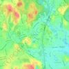

Browns Point
United States > Massachusetts > Essex County > Salisbury > Salisbury Beach
Altitud media: 2 m
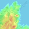
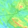

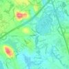
Little River Marshes
United States > Massachusetts > Essex County > Gloucester > West Gloucester
Altitud media: 27 m
Blackwater River
United States > Massachusetts > Essex County > Salisbury > Salisbury Beach
Altitud media: 4 m


Forest River Park
United States > Massachusetts > Essex County > Salem > South Salem
Altitud media: 8 m




Kettle Cove Village
United States > Massachusetts > Essex County > Manchester-by-the-Sea
Altitud media: 18 m