
Mapa topográfico Sung Kong
Mapa interactivo
Haga clic en el mapa para ver la altitud.
Acerca de este mapa
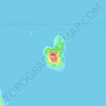
Nombre: Mapa topográfico Sung Kong, altitud, relieve.
Lugar: Sung Kong, Shan Liu, Islands District, Hong Kong, PRC (22.18046 114.28271 22.19026 114.29097)
Altitud media: 2 m
Altitud mínima: 0 m
Altitud máxima: 124 m
Otros mapas topográficos
Haga clic en un mapa para ver su topografía, su altitud y su relieve.