Geolocalizar

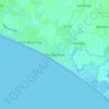
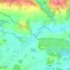
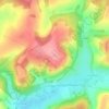
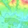
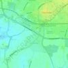
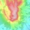
Mapa topográfico Westbourne

Haga clic en el mapa para ver la altitud.

Acerca de este mapa

Nombre: Mapa topográfico Westbourne, altitud, relieve.

Lugar: Westbourne, Chichester, West Sussex, England, United Kingdom (50.85322 -0.93883 50.88009 -0.87685)

Altitud media: 26 m

Altitud mínima: 1 m

Altitud máxima: 111 m

Otros mapas topográficos

Haga clic en un mapa para ver su topografía, su altitud y su relieve.
Hammer

United Kingdom > England > West Sussex > Chichester > Hammer

Altitud media: 159 m

Iping

United Kingdom > England > West Sussex > Chichester > Stedham

Altitud media: 59 m

Elsted

United Kingdom > England > West Sussex > Chichester

Altitud media: 88 m

Selham

United Kingdom > England > West Sussex > Chichester

Altitud media: 38 m

Rake

United Kingdom > England > West Sussex > Chichester

Altitud media: 104 m

Blackdown

United Kingdom > England > West Sussex > Chichester

Blackdown, or Black Down, summit elevation 279.7 metres (918 ft) AMSL, is the highest point in both the historic county of Sussex and the South Downs National Park. It is one of the highest points in the south east of England, exceeded by Walbury Hill, Leith Hill and Pilot Hill. Blackdown is protected as part…
Altitud media: 165 m

Hammer

United Kingdom > England > West Sussex > Chichester

Altitud media: 159 m

Equípate para tu próxima aventura:

👖Mallas Térmicas Mujer - Aislamiento suave para condiciones de frío
👟Zapatillas de Trail Running Hombre - Calzado ligero y con tracción para correr por senderos
👟Sandalias de Trekking Hombre - Calzado ventilado para rutas con cruce de ríos
🚲Guantes de Ciclismo MTB - Protección y agarre en el manillar
🛠️Multiherramientas para Bici - Ajustes rápidos para no detener tu aventura

Como asociado de Amazon, este sitio gana comisiones por las compras que califican, sin ningún costo adicional para usted.