
Mapa topográfico Rajsamand
Mapa interactivo
Haga clic en el mapa para ver la altitud.
Acerca de este mapa
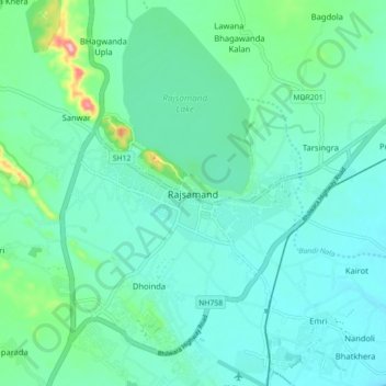
Nombre: Mapa topográfico Rajsamand, altitud, relieve.
Altitud media: 552 m
Altitud mínima: 523 m
Altitud máxima: 686 m
Rajsamand is located at 25°04′N 73°53′E / 25.07°N 73.88°E / 25.07; 73.88. It has an average elevation of 547 metres (1794 ft).