
Mapa topográfico Avivim
Haga clic en el mapa para ver la altitud.
Acerca de este mapa
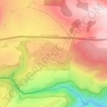
Nombre: Mapa topográfico Avivim, altitud, relieve.
Altitud media: 704 m
Altitud mínima: 410 m
Altitud máxima: 890 m
Otros mapas topográficos
Haga clic en un mapa para ver su topografía, su altitud y su relieve.
Mount Meron
Israel > North District > Merom HaGalil Regional Council
In 1965, an 84,000-dunam nature reserve was declared. An additional 1,199 dunams were declared part of the reserve in 2005. It is the highest reserve in Israel, at an altitude of 1,204 meters above sea level, and the largest reserve in the north of the country.
Altitud media: 943 m
Mount Meron
Israel > North District > Merom HaGalil Regional Council
Mount Meron (Hebrew: הַר מֵירוֹן, Har Meron; Arabic: جبل الجرمق, Jabal al-Jarmaq) is a mountain in the Upper Galilee region of Israel. It has special significance in Jewish religious tradition and parts of it have been declared a nature reserve. At 1,204 metres (3,950 ft) above sea level,…
Altitud media: 943 m