

Mapa topográfico Farnborough
Haga clic en el mapa para ver la altitud.
Farnborough
Farnborough is located in the northeastern corner of the county of Hampshire, near the border with Surrey. The town occupies a valley setting, with the main urban area situated between the River Blackwater to the east and higher ground to the west. The topography gradually rises from the valley floor, reaching a maximum elevation of around 90 metres (300 feet) above sea level on the fringes of the town.
Acerca de este mapa
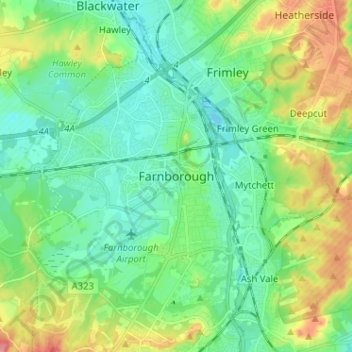
Nombre: Mapa topográfico Farnborough, altitud, relieve.
Altitud media: 82 m
Altitud mínima: 57 m
Altitud máxima: 137 m