

Mapa topográfico Ayodhya
Haga clic en el mapa para ver la altitud.
Ayodhya
The earliest of the Buddhist Pali-language texts and the Jain Prakrit-language texts mention a city called Saketa (Sageya or Saeya in Prakrit) as an important city of the Kosala mahajanapada. Topographical indications in both Buddhist and Jain texts suggest that Saketa is the same as the present-day Ayodhya. For example, according to the Samyutta Nikaya and the Vinaya Pitaka, Saketa was located at a distance of six yojanas from Shravasti. The Vinaya Pitaka mentions that a big river was located between the two cities, and the Sutta Nipata mentions Saketa as the first halting place on the southward road from Shravasti to Pratishthana.
Acerca de este mapa
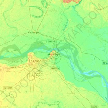
Nombre: Mapa topográfico Ayodhya, altitud, relieve.
Lugar: Ayodhya, Faizabad, Ayodhya, Uttar Pradesh, 224123, India (26.63907 82.04523 26.95907 82.36523)
Altitud media: 96 m
Altitud mínima: 85 m
Altitud máxima: 111 m