
Mapa topográfico Vesoul
Mapa interactivo
Haga clic en el mapa para ver la altitud.
Vesoul
Vesoul is first mentioned in a document dated 899. That document speaks about an elevation with a fortified watchtower. The document speaks about "Castrum Vesulium". Castrum is a fortification, and "Vesulium" has the syllable ves which meant hill or mountain in a language that was spoken before the Celts. Today, there is a castle that forms the centre of the city. The first houses were built inside the walls of the castle. Newcomers who found no place settled outside the city walls, on the flanks of the hill. Growing wine was popular.
Acerca de este mapa
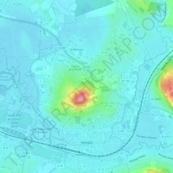
Nombre: Mapa topográfico Vesoul, altitud, relieve.
Altitud media: 232 m
Altitud mínima: 213 m
Altitud máxima: 369 m