

Mapa topográfico Leixlip
Haga clic en el mapa para ver la altitud.
Leixlip
British publisher and cartographer Samuel Lewis mentions Confey Castle in the first volume of his 1837 work A Topographical Dictionary of Ireland. In it, he comments that Confey's (or Confoy as he spells it) population was 165, had formerly had a town and a castle of some importance, which were noticed by Camden. Of the tower's remains were a massive five-storey structure with turrets at the north and west angles; that at the north angle containing a winding staircase opening through pointed arches into each storey. The principal entrance was under a semicircular archway. In the war of 1688 the castle is said to have been strongly garrisoned, and to have sustained an attack.
Acerca de este mapa
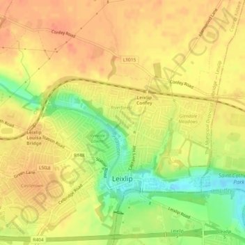
Nombre: Mapa topográfico Leixlip, altitud, relieve.
Altitud media: 53 m
Altitud mínima: 23 m
Altitud máxima: 69 m