
Mapa topográfico Ål
Mapa interactivo
Haga clic en el mapa para ver la altitud.
Acerca de este mapa
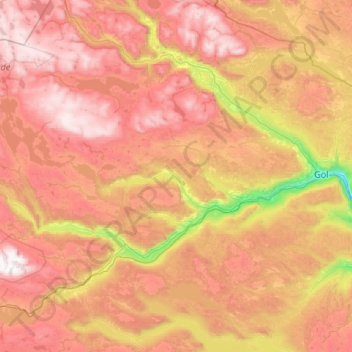
Nombre: Mapa topográfico Ål, altitud, relieve.
Lugar: Ål, Viken, Norway (60.47050 7.77517 60.92405 8.84388)
Altitud media: 1.023 m
Altitud mínima: 192 m
Altitud máxima: 1.854 m
The Bergen Line, the rail line between Oslo and Bergen runs through Ål. Ål Station has an elevation of 436 meters (1,430 ft) and is the halfway station on the Bergen Line.
Otros mapas topográficos
Haga clic en un mapa para ver su topografía, su altitud y su relieve.