
Mapa topográfico Arthur R. Marshall Loxahatchee National Wildlife Refuge
Mapa interactivo
Haga clic en el mapa para ver la altitud.
Acerca de este mapa
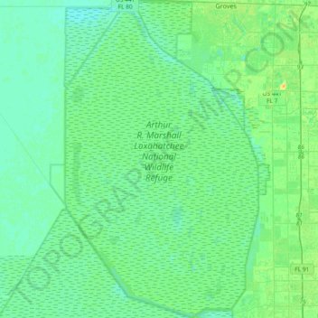
Nombre: Mapa topográfico Arthur R. Marshall Loxahatchee National Wildlife Refuge, altitud, relieve.
Altitud media: 6 m
Altitud mínima: 0 m
Altitud máxima: 23 m