Mapa topográfico Lake James
Haga clic en el mapa para ver la altitud.
Lake James
Lake James is a large reservoir in the mountains of Western North Carolina which straddles the border between Burke and McDowell Counties. It is named for tobacco tycoon and benefactor of Duke University James Buchanan Duke. The lake, with surface elevation of 1200 ft (366 m), lies behind a series of 3 earthen dams. It was created by Duke Power between 1916 and 1923 as a hydro-electric project. It still generates power today and is the uppermost lake on the Catawba River system.
Acerca de este mapa
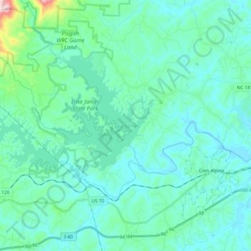
Nombre: Mapa topográfico Lake James, altitud, relieve.
Lugar: Lake James, Burke County, North Carolina, United States (35.71392 -81.99982 35.79624 -81.82004)
Altitud media: 381 m
Altitud mínima: 311 m
Altitud máxima: 849 m
Otros mapas topográficos
Haga clic en un mapa para ver su topografía, su altitud y su relieve.