
Mapa topográfico Tankstation: Giethorn
Mapa interactivo
Haga clic en el mapa para ver la altitud.
Acerca de este mapa
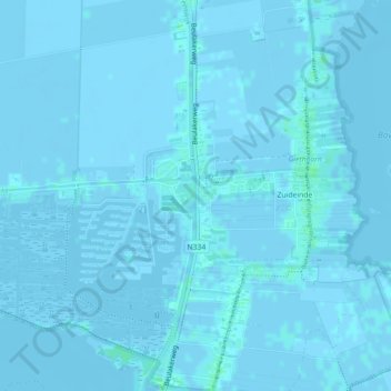
Nombre: Mapa topográfico Tankstation: Giethorn, altitud, relieve.
Altitud media: 0 m
Altitud mínima: -3 m
Altitud máxima: 4 m
Otros mapas topográficos
Haga clic en un mapa para ver su topografía, su altitud y su relieve.
Zuideinde
Nederland > Overijssel > Giethoorn
Zuideinde, Giethoorn, Steenwijkerland, Overijssel, Nederland, 8355 BV, Nederland
Altitud media: 0 m