
Mapa topográfico Tranquillity
Mapa interactivo
Haga clic en el mapa para ver la altitud.
Acerca de este mapa
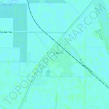
Nombre: Mapa topográfico Tranquillity, altitud, relieve.
Altitud media: 49 m
Altitud mínima: 47 m
Altitud máxima: 51 m
Tranquillity is a census-designated place (CDP) in Fresno County, California, United States. The population was 799 at the 2010 census, down from 813 at the 2000 census. Tranquillity High School is the only high school in Tranquillity. Tranquillity is located 10 miles (16 km) southeast of Mendota, at an elevation of 164 feet (50 m).