
Mapa topográfico Mount Mitchell Heritage Prairie Park
Mapa interactivo
Haga clic en el mapa para ver la altitud.
Acerca de este mapa
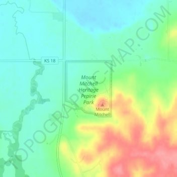
Nombre: Mapa topográfico Mount Mitchell Heritage Prairie Park, altitud, relieve.
Altitud media: 325 m
Altitud mínima: 296 m
Altitud máxima: 381 m