
Mapa topográfico Yerupajá
Mapa interactivo
Haga clic en el mapa para ver la altitud.
Yerupajá
Based on the elevation provided by the available Digital elevation models, SRTM2 (6558m with voids), SRTM filled with ASTER (6551m with voids), TanDEM-X(6110m with voids), Yerupaja is about 6635 meters above sea level. This altitude was considered due to the lack of topographic data or even handheld GPS data.
Acerca de este mapa
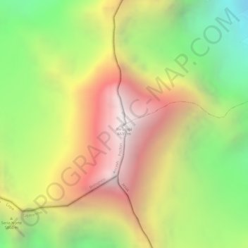
Nombre: Mapa topográfico Yerupajá, altitud, relieve.
Lugar: Yerupajá, Pacllón, Province of Bolognesi, Ancash, Peru (-10.26867 -76.90561 -10.26857 -76.90551)
Altitud media: 5.637 m
Altitud mínima: 4.698 m
Altitud máxima: 6.506 m