
Mapa topográfico Camp 36 Lake
Mapa interactivo
Haga clic en el mapa para ver la altitud.
Acerca de este mapa
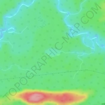
Nombre: Mapa topográfico Camp 36 Lake, altitud, relieve.
Altitud media: 269 m
Altitud mínima: 232 m
Altitud máxima: 353 m
Otros mapas topográficos
Haga clic en un mapa para ver su topografía, su altitud y su relieve.
Kellow Lake
Canada > Ontario > Thunder Bay District > Unorganized Thunder Bay District
Kellow Lake, Unorganized Thunder Bay District, Thunder Bay District, Northwestern Ontario, Ontario, Canada
Altitud media: 294 m